

Practice type
Walking
Trail running
Hotton Green Trail

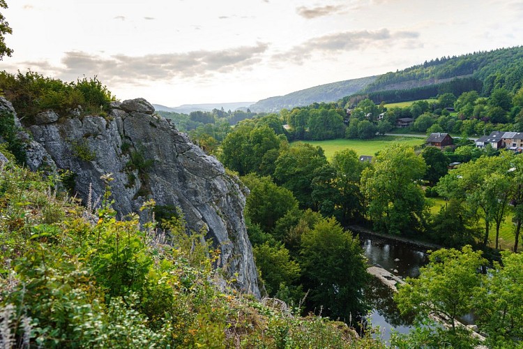
Beautiful trail along the deep woodlands of Hotton and along the iconic Renissart Rocks bathed by the river Ourthe!
Code signalétique
Trailer
Signalétique (EN)
N1 (Pedestrian) - Green
Difficulty
Not specified
Dist.
6.5 km
Practice type
Walking
Trail running
Show more information
À proximité
Nearby tours
Map background choice

IGN France Map

Aerial Photos / IGN

Slope Map (IGN France Map)

Map 1950 / IGN

State Major Map (1820-1866)

Open Street Map
Lat : 50.26958Lng : 5.45022
Coordinates copied
MTFA
Author
AlertAlerts
Powered by Cirkwi - Read Terms of Use
