
 1
1 
 7
7 
Circuit Bomal-sur-Ourthe (Durbuy) - The Saint Rahy walk
Bomal
On foot || Middle || 4:00 ||
 9.86 km


 2
2 


Beauraing 2
Beauraing
On foot || Middle || 4:00 || Trail || Middle || 2:00 ||
15.0 km
 croix jaune 2

Walking trail Hotton -17- Walk along the stones
Hotton
On foot || Middle || 1:50 ||
7.01 km


Belvaux - Les Bouvreuils - The rapids of the Lesse
Rochefort
On foot || Middle || 2:00 ||
5.63 km


Les Rouges-Gorges
Belvaux
On foot || Middle || 3:45 || People with limited mobility || Pushchair ||
10.0 km


The Isbelle Resurgence
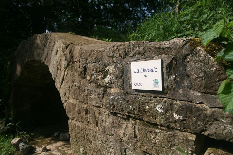

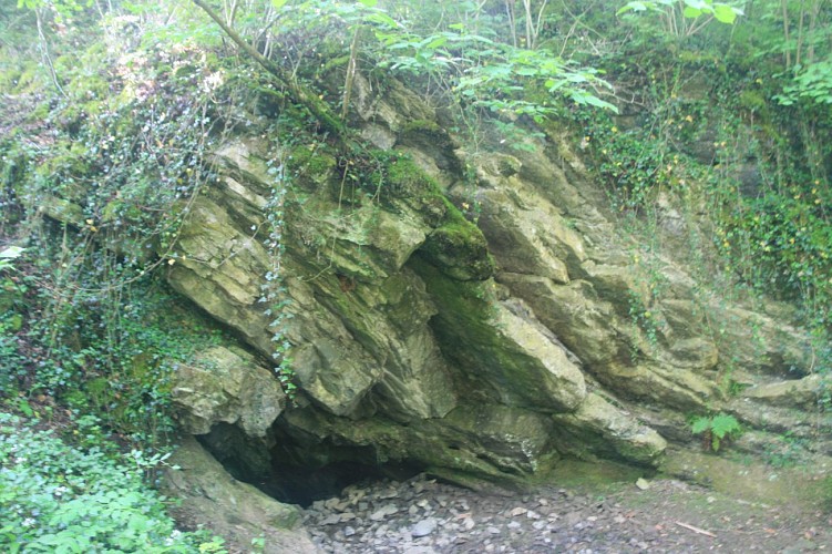

The Isbelle resurgence can only be accessed by divers. It is a visible sign of an underground river most
of which is still unknown to humankind. The spring is fed from swallow-holes higher up the valley. The spring ceases to flow in dry weather, but after heavy rainfall the Isbelle resumes its course above ground.
IGN MAP

AERIAL PHOTOS / IGN


SLOPE MAP (IGN PLAN)


MAP 1950 / IGN

MAP OF THE GENERAL STAFF (1820-1866)


OPEN STREET MAP


Author Information

5580 Rochefort


