
 7
7 
 1
1 
Circuit Bomal-sur-Ourthe (Durbuy) - The Saint Rahy walk
Bomal
On foot || Middle || 4:00 ||
 9.86 km


 2
2 


Walking trail Hotton -17- Walk along the stones
Hotton
On foot || Middle || 1:50 ||
7.01 km


Beauraing 2
Beauraing
On foot || Middle || 4:00 || Trail || Middle || 2:00 ||
15.0 km
 croix jaune 2


Belvaux - Les Bouvreuils - The rapids of the Lesse
Rochefort
On foot || Middle || 2:00 ||
5.63 km


Les Rouges-Gorges
Belvaux
On foot || Middle || 3:45 || People with limited mobility || Pushchair ||
10.0 km


RIVEO
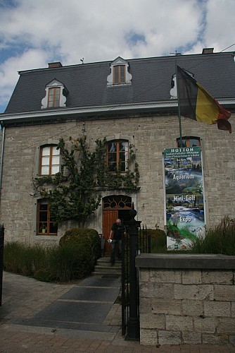

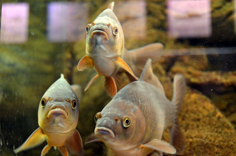

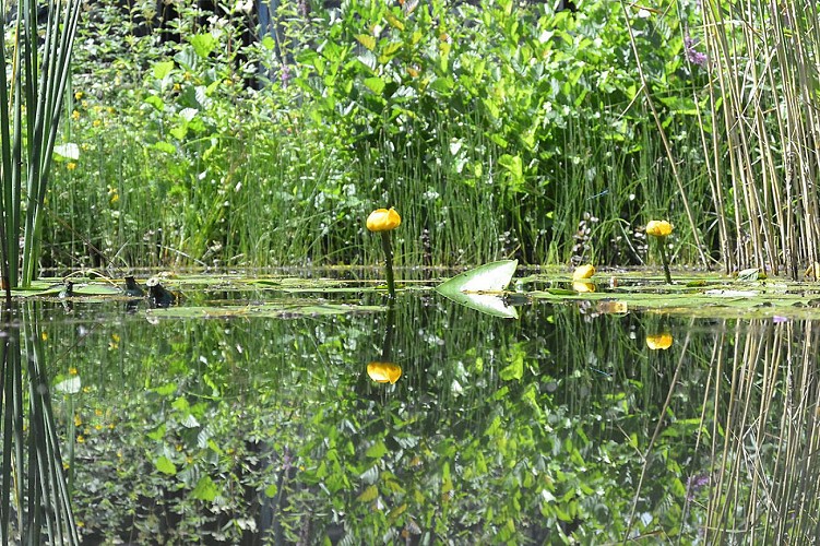

You have now reached the final geosite on your geotrail through Hotton. Riveo, the River Interpretation
Centre, stands ready to unveil the river’s secrets just for you. In the centre of Hotton, Riveo offers a variety of discovery areas, including a 12-metre long reconstruction of a branch of river, different aquariums, a pond (with underwater viewing gallery), and an entertaining themed exhibition. By appointment, Riveo will initiate you into the unsuspected treasures of the river world and all its biodiversity via a wide range of nature and fishing activities.
IGN MAP

AERIAL PHOTOS / IGN


SLOPE MAP (IGN PLAN)


MAP 1950 / IGN

MAP OF THE GENERAL STAFF (1820-1866)


OPEN STREET MAP


Author Information

5580 Rochefort


