
 7
7 
 1
1 
Circuit Bomal-sur-Ourthe (Durbuy) - The Saint Rahy walk
Bomal
On foot || Middle || 4:00 ||
 9.86 km


 2
2 


Beauraing 2
Beauraing
On foot || Middle || 4:00 || Trail || Middle || 2:00 ||
15.0 km
 croix jaune 2


Walking trail Hotton -17- Walk along the stones
Hotton
On foot || Middle || 1:50 ||
7.01 km


Belvaux - Les Bouvreuils - The rapids of the Lesse
Rochefort
On foot || Middle || 2:00 ||
5.63 km


Les Rouges-Gorges
Belvaux
On foot || Middle || 3:45 || People with limited mobility || Pushchair ||
10.0 km


Castel of the counts of Rochefort
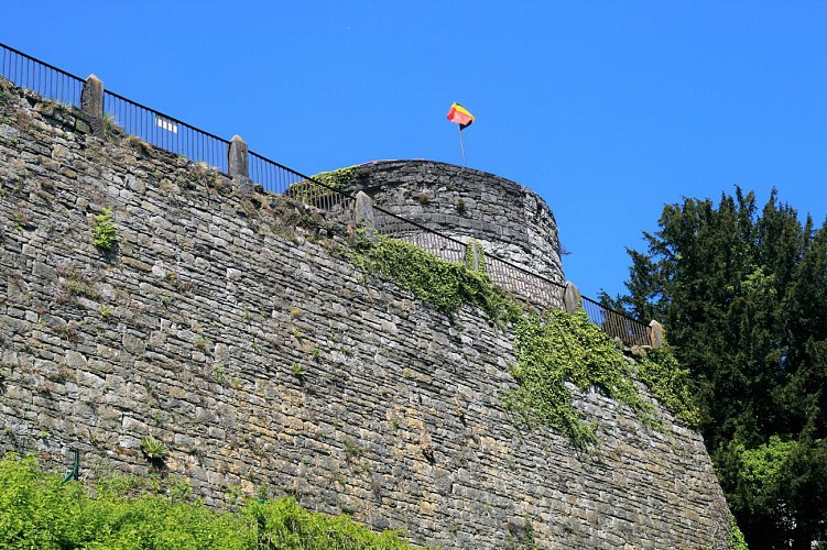

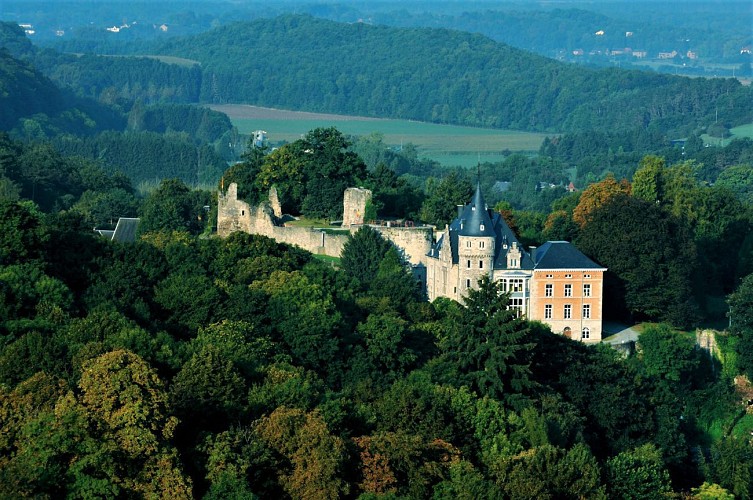

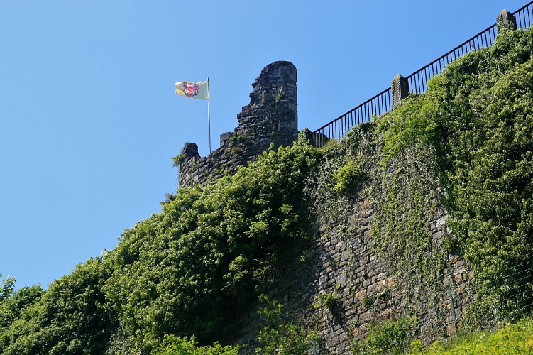

The Château Comtal de Rochefort, or chateau of the Counts of Rochefort, built in the Middle Ages by the Montaigus, the first lords of Rochefort, was to become one of the greatest fortified castles of the Calestienne, and gave its name to the town itself (rocha fortis). The siting of the castle is remarkable in terms of geomorphology. Standing atop a limestone promontory within a loop of the Lomme, close to its peak it levels out into a large and fairly flat area at an altitude of 230 metres. This area represents the upper terrace of the Lomme, a dominant and much prized position of major strategic importance. It looks out over the Famenne depression to the northwest, the dry valley of Rue Jacquet(1) to the south and east and the Thier des Falizes sink-holes to the west. To the north, the promontory is bounded by a cliff created by differential erosion where limestone meets shales. The castle was besieged on numerous occasions. Later it became a ceremonial palace, then was nationalised, and finally ended its days as an unofficial “quarry”, its stones plundered by local residents for their own building needs. A prime historical and archaeological site, it is now open to visitors.
More information can be found on the castle’s website, www.chateaurochefort.be, under “News”.
IGN MAP

AERIAL PHOTOS / IGN


SLOPE MAP (IGN PLAN)


MAP 1950 / IGN

MAP OF THE GENERAL STAFF (1820-1866)


OPEN STREET MAP


Author Information

5580 Rochefort


