
 7
7 
 1
1 
Circuit Bomal-sur-Ourthe (Durbuy) - The Saint Rahy walk
Bomal
On foot || Middle || 4:00 ||
 9.86 km


 2
2 


Beauraing 2
Beauraing
On foot || Middle || 4:00 || Trail || Middle || 2:00 ||
15.0 km
 croix jaune 2

Walking trail Hotton -17- Walk along the stones
Hotton
On foot || Middle || 1:50 ||
7.01 km


Belvaux - Les Bouvreuils - The rapids of the Lesse
Rochefort
On foot || Middle || 2:00 ||
5.63 km


Les Rouges-Gorges
Belvaux
On foot || Middle || 3:45 || People with limited mobility || Pushchair ||
10.0 km


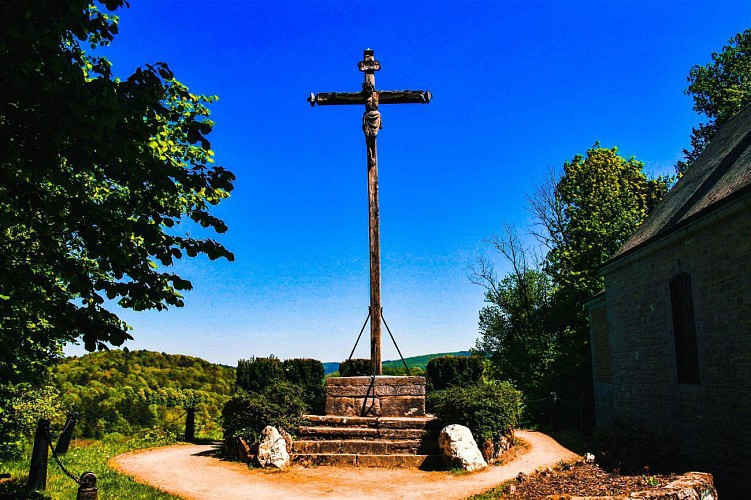
The point of view of N.D. de Lorette

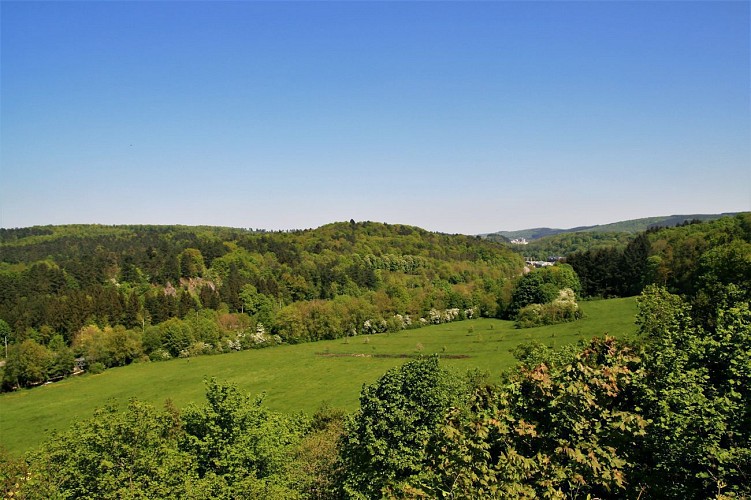

The N.D. de Lorette lookout point offers a magnificent panorama over the Lomme valley, from which you can just make out the industrial buildings of the Lhoist quarries in the distance. The main focus here, however, is the course of the Lomme itself. Clearly, here it is following the limestone strip very closely, with both sides of
the valley similar in appearance and fairly steep. Between the two slopes lies a vast horizontal area, the alluvial plain of the Lomme, through which the river snakes. Note that the course of the Lomme has been altered on numerous occasions by the hand of man, particularly during the building of the railway. The alluvial plain is made up of pebbles and fine sediments. At high water, the valley will flood, performing its natural function of accommodating the floodwaters. It will be no surprise that this area is designated a floodplain by the Wallonia Public Service (SPW).
IGN MAP

AERIAL PHOTOS / IGN


SLOPE MAP (IGN PLAN)


MAP 1950 / IGN

MAP OF THE GENERAL STAFF (1820-1866)


OPEN STREET MAP


Author Information

5580 Rochefort


