
 7
7 
 1
1 
Circuit Bomal-sur-Ourthe (Durbuy) - The Saint Rahy walk
Bomal
On foot || Middle || 4:00 ||
 9.86 km


 2
2 


Beauraing 2
Beauraing
On foot || Middle || 4:00 || Trail || Middle || 2:00 ||
15.0 km
 croix jaune 2


Walking trail Hotton -17- Walk along the stones
Hotton
On foot || Middle || 1:50 ||
7.01 km


Belvaux - Les Bouvreuils - The rapids of the Lesse
Rochefort
On foot || Middle || 2:00 ||
5.63 km


Les Rouges-Gorges
Belvaux
On foot || Middle || 3:45 || People with limited mobility || Pushchair ||
10.0 km


The Gerny Anticline
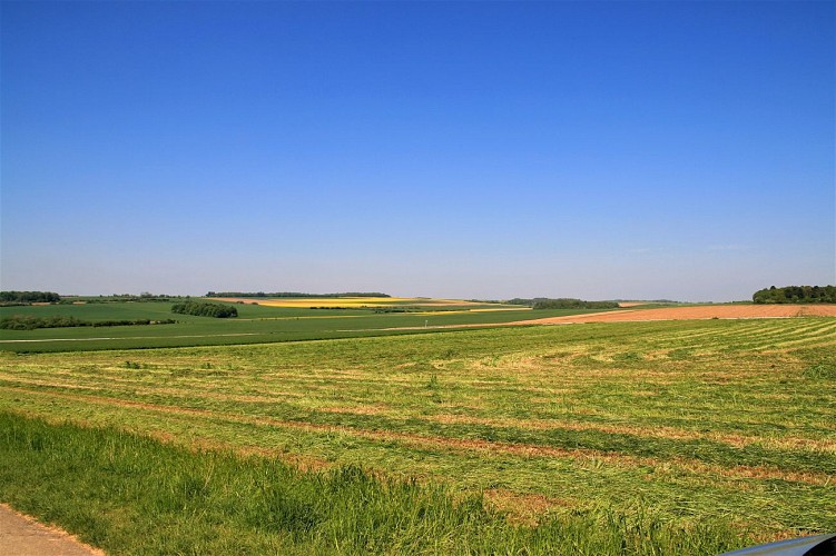

You will find yourself at the highest point of a flattened area. From Rue de Ninove onwards, you will have
passed by a number of disused quarries (not always easy to spot, as they are fenced off). Were you to continue northwards, you would come to the Boverie quarry, mentioned above. Geologically speaking, you would still be treading Calestienne limestone all the way from the On quarry to the Boverie. Along most of its length, the Calestienne is a strip less than a mile wide. Here, however, it is at its widest at 4 km, as a result of a geological anticline: this is the Gerny plateau, or Gerny anticline, which stretches
eastwards from Rochefort as far as Hargimont. This slightly rolling limestone plateau was covered by windborne silt loam deposits ideal for crop-growing.
IGN MAP

AERIAL PHOTOS / IGN


SLOPE MAP (IGN PLAN)


MAP 1950 / IGN

MAP OF THE GENERAL STAFF (1820-1866)


OPEN STREET MAP


Author Information

5580 Rochefort


