
 1
1 
 7
7 
Circuit Bomal-sur-Ourthe (Durbuy) - The Saint Rahy walk
Bomal
On foot || Middle || 4:00 ||
 9.86 km


 2
2 


Beauraing 2
Beauraing
On foot || Middle || 4:00 || Trail || Middle || 2:00 ||
15.0 km
 croix jaune 2


Walking trail Hotton -17- Walk along the stones
Hotton
On foot || Middle || 1:50 ||
7.01 km


Belvaux - Les Bouvreuils - The rapids of the Lesse
Rochefort
On foot || Middle || 2:00 ||
5.63 km


Les Rouges-Gorges
Belvaux
On foot || Middle || 3:45 || People with limited mobility || Pushchair ||
10.0 km


Ambly, a picturesque village
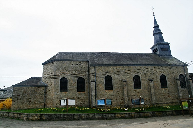

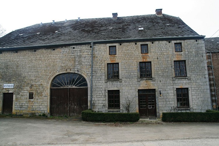

Behind the church, at no. 2, stands the former presbytery. It was converted into housing and enclosed by a low wall during the latter half of the 19th century: King Albert II visited the house on a number of occasions. As you make your way back the way you came, just opposite the church, at no. 30, stands a small redbrick house. In its day, it would have been a place of lively conversations and laughter as the village grocery store and café, Chez Flore, where folk would gather after Mass to play cards. Alongside the church, at no. 25, stands a long, low farmhouse dating from 1842, where the journeymen builders lodged during the building of the church. But Ambly is also home to another traditional skill: at 41 Rue Principale, the Brasserie Saint-Monon brewery makes a range of craft beers.
IGN MAP

AERIAL PHOTOS / IGN


SLOPE MAP (IGN PLAN)


MAP 1950 / IGN

MAP OF THE GENERAL STAFF (1820-1866)


OPEN STREET MAP


Author Information

5580 Rochefort


