

Belvaux - Les Rouges-Gorges


Beautiful nature walk starting from Belvaux, a lovely little village of the Calestienne area bathed by the magnificent Lesse River : woodlands, untamed river and natural beauties aplenty! Signposting : blue rectangle
Further information
Signalétique (EN)
No signage
IGN MAP

AERIAL PHOTOS / IGN


SLOPE MAP (IGN PLAN)


MAP 1950 / IGN

MAP OF THE GENERAL STAFF (1820-1866)


OPEN STREET MAP


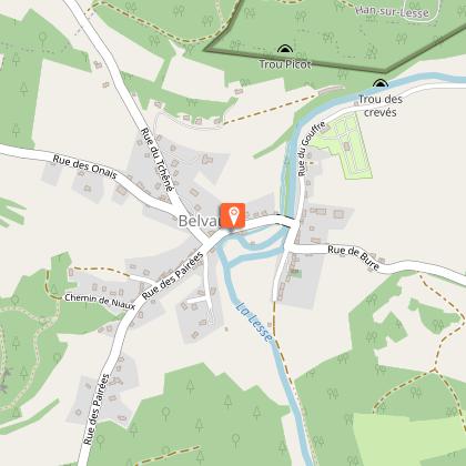
Starting point
5580 Rochefort
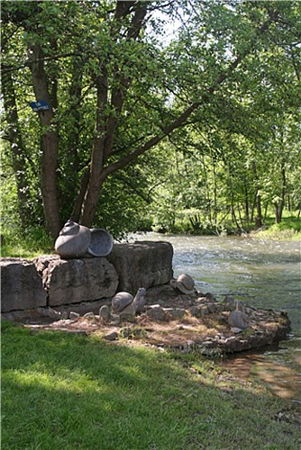
Caracolis
In the past, the village of Belvaux was well-known for its snails. This is why the villagers are nicknamed ‘Caracolis’ (Walloon for snails). On the riverbanks, you can see a sculpture of the ‘Caracolis’ by the local artist Stéphane Renard.
1 Carte promenades de Rochefort
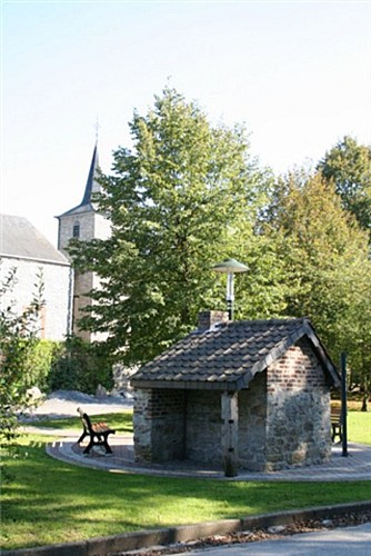
Old bakery
Less than a stone's throw away from an elegant river bend, you can admire an old public bakery. A long time ago, it was used to bake spelt bread, emmer bread and sometimes even rye bread.
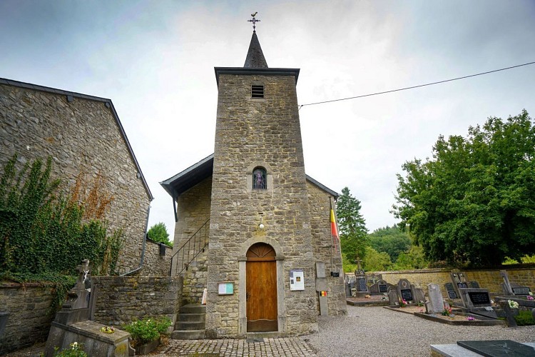
Saint Laurent Chapel
Built in 1857 on the location of the former chapel, the building was restored in 1932. The choir, which was painted by a local artist, features naked cherubs surrounding the Holy Virgin, presiding over the main altar. The statue of Saint Laurent dates from the 14th century and the altarpiece from the 16th.
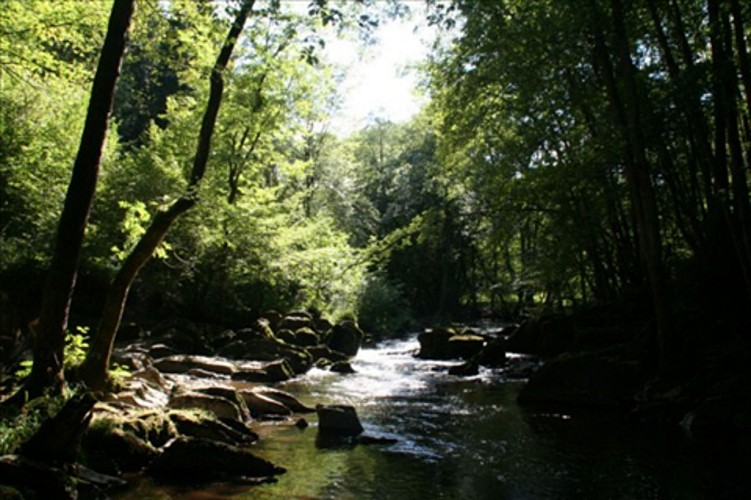
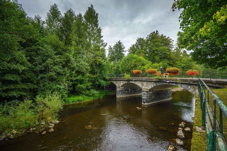
The Lesse - Belvaux
This iconic river has it source in the Province of Namur, more specifically in Ochamps, and winds its way northwards for about 84km (approx 52.2 miles). The Lesse crosses though the villages of Daverdisse, Halma, Chanly and Resteigne, and then plunges into the sinkhole of Belvaux on the heights of Han-sur-Lesse before reappearing at the cave exit and flowing towards Lessive, Villers-sur-Lesse and Houyet, terminating its journey in Anseremme, where the river flows into the Meuse. The Lesse is home to trout, grayling, pike, barbel, carp, chub, eels, minnows, gudgeon, grey slugs and lamprey...
The Calestienne
Now we're heading back towards Belvaux, the charming little village of the Calestienne area where we started our walk. But was does Calestienne really mean?The southern part of the Famenne, between the schist-laden Famenne soil and the Ardennes, is called the Calestienne, which is where you are now. The Calestienne area is a narrow strip of only a couple of miles long which stretches out across the entire breadth of Wallonia, from Chimay to Couvin in the west, to Hamoir, Ferrières and Aywaille in the east, even passing through Givet (in France), and, Beauraing, Rochefort, Marche-en-Famenne, Hotton and Durbuy. The word Calestienne was invented by botanists who were so impressed by the local flora - that is incomparable to anything found in the adjacent areas- that they thought it would be a good idea to give this small but singular territory its own specific name. The etymology of the world Calestienne (from the German word ‘Kalkstein’, limestone) refers to the limestone that you have had the pleasure of admiring on the façades in the village and that constitutes most of the hills that encircle the Lesse Valley.It’s the physical and chemical properties of this same limestone that led to the creation of the famous caves of Han-sur-Lesse.
Belvaux
This small corner of the Famenne, is situated in the Lesse and Lomme Natural Park which was created in 1954 to protect the area’s natural and built heritage as well as its specific fauna and flora.
Belvaux is also known for the Chasm of Belvaux (only accessible during the visit to the Wildlife Reserve) : this is where the Lesse River enters the limestone soil of the Boine massif by a staggering siphon some 50 meters deep. The river chose this subterranean route more than 100.000 years ago.


