

Circuit Bomal-sur-Ourthe (Durbuy) - The Saint Rahy walk


Further information
Signalétique (EN)
No signage
IGN MAP

AERIAL PHOTOS / IGN


SLOPE MAP (IGN PLAN)


MAP 1950 / IGN

MAP OF THE GENERAL STAFF (1820-1866)


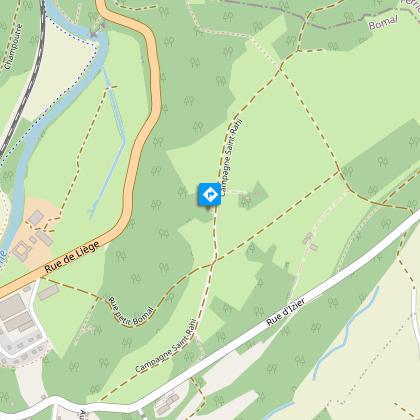
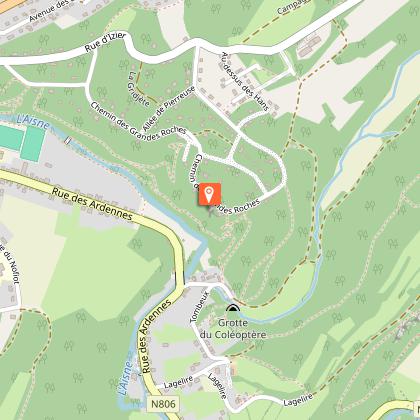
OPEN STREET MAP


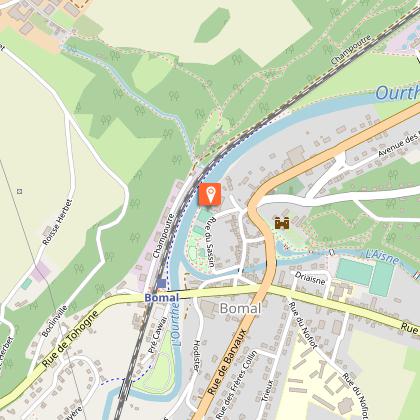
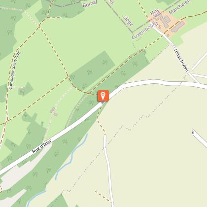
Starting point
6941 Bomal
1 Infoparcours_1421624
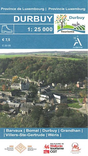
Durbuy walking map
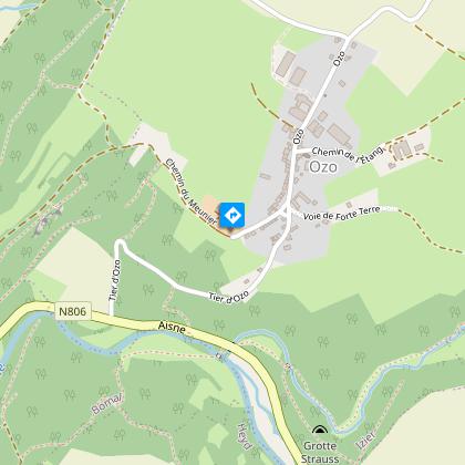
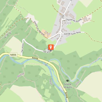
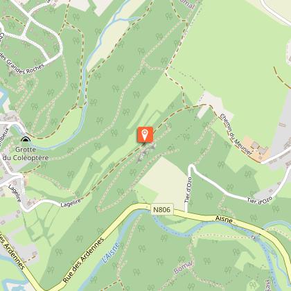
Walking map for Barvaux, Bomal, Durbuy, Grandhan, Villers, WérisYou are almost back to your starting point. We hope you enjoyed this trail and the benefits of nature! This trail was created by the Durbuy Tourist Office ::+32 (0) 86 21 24 28 - info@durbuyinfo.be – www.durbuytourisme.beyou can buy the map from the Durbuy Tourist Office or contact Tourism Famenne-Ardennes: +32(0)84/34 53 27 & info@famenneardenne.be.share your most stunning pics on social media using #WeLoveFamenneArdenne or #VisitFamenneArdenne :)See you soon for new adventures in the Famenne-Ardennes area!www.famenneardenne.befacebook.com/tourismefamenneardennen (FR)@TourismeFamenneArdenne (FR/EN)


