Circuit Grune (Nassogne) - Balade pédestre - Roadbook Famenne-Ardenne


Further information
Signalétique (EN)
No signage
IGN MAP

AERIAL PHOTOS / IGN


SLOPE MAP (IGN PLAN)


MAP 1950 / IGN

MAP OF THE GENERAL STAFF (1820-1866)


OPEN STREET MAP


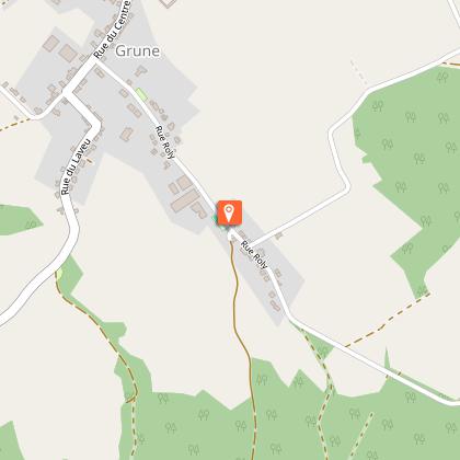
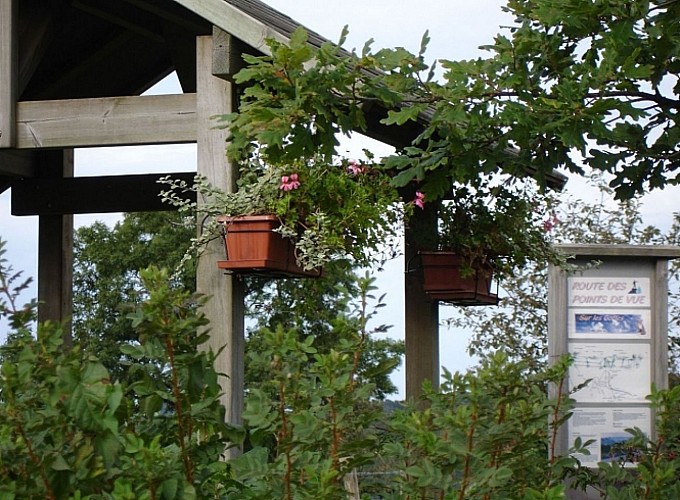
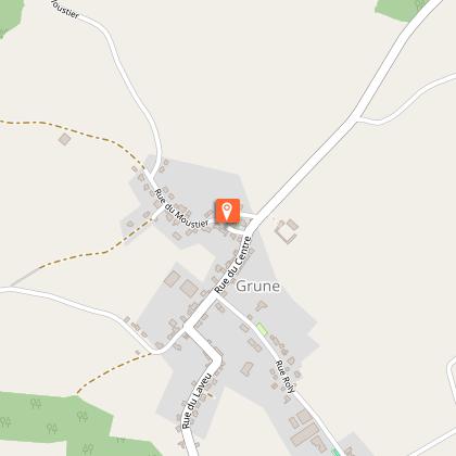
Starting point
6952 Grune
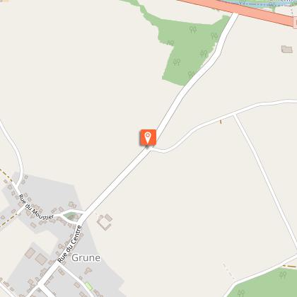
Former village shop & pub
he house opposite the school, converted after 1918, was for a long time the village shop as well as village pub. As early as 1900, Grune was served by the local tram service that linked Marche to Martelange. At the time, the village boasted 4 grocers and two inns (family pensions) for a population of more than 600 villagers. Nowadays, the population is a little over 330…and there isn't a single shop in the village…A lot of the houses still bear traces of a barn door. The barns were used to store the hay and shelter the carts, which is why the doors are quite large. Many of the houses also have a small outbuilding - generally built near the road, away from the living quarters - that was used as a pigsty.The older constructions, mostly from the 19th or early 20th century, are built either with sandstone that was extracted from a quarry in the Bois de Grune (the Grune wood), half-timber work and cob, or in some cases, with the bricks that were baked in the old Harsin brick factory. Paradoxically, brick was at the time considered as a ‘noble’ material (some of the façades are made out of brick, while the back of the houses and the gables are in Belgian bluestone…).
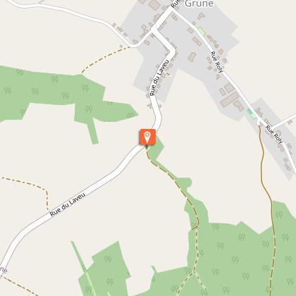
The Goffes viewpoint
A small detour of about 100 m (328 feet), takes you to the panorama called ‘Point de Vue des Goffes’. From this viewpoint, you look out over : the Godefroid villa, in the north, the Chefneufays castle, in the north-east, the village of Bande and the Roy church tower in the east. A bit further on, in the Rue du Moustier and facing the Godefroid villa, you can see the Grune mill that dates from 1786.
View of the Wassoie valley
On your left, you can enjoy a wide view of the Wassoie valley. With the Saint-Hubert forest as a backdrop, the village of Grune overlooks the valleys of the Wamme and the Hédrée.
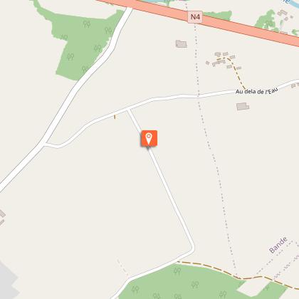
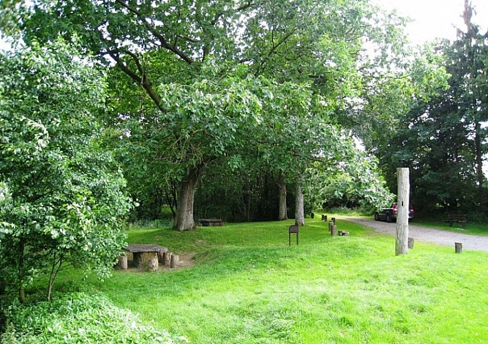
Our top tip: the Ry d'Oeure Nature Reserve
It’s worth stopping for a while at the Ry d’Oeure nature reserve, with its picnic area and educational trail. It’s only about 600m (2000 feet) from where you are now (at the bottom of the hill, village exit). To reach the Ry d’Oeure, instead of continuing straight ahead, take the turn and follow the road towards Nassogne. The neighbourhood that you are now passing through is called Laveu. The name (Walloon for ‘lavoir’ wash-house) is a reminder of the former public wash-house that once sat alongside the Ry d’Oeure, where the rest area is now. The vast stone basins have been moved to the place known as ‘la Pépinette’ in Nassogne.