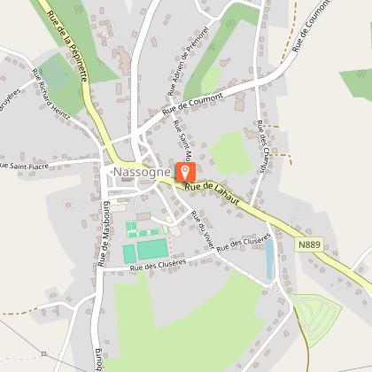
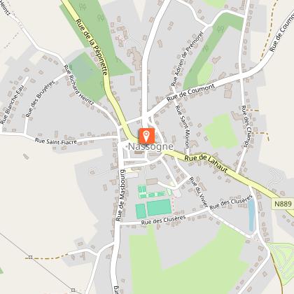
Circuit vélo autour de Nassogne
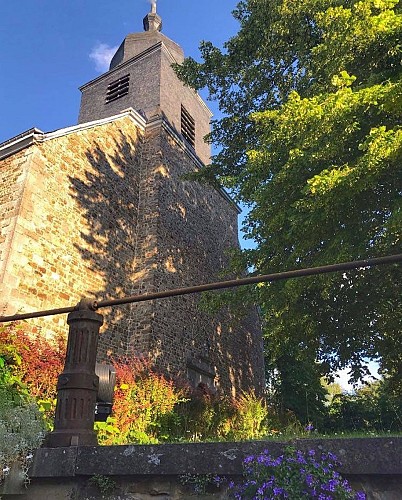


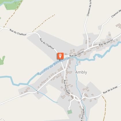
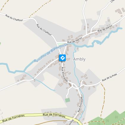
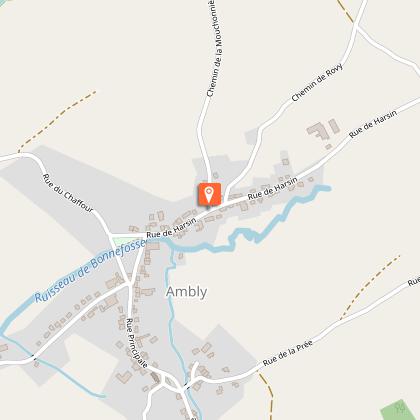
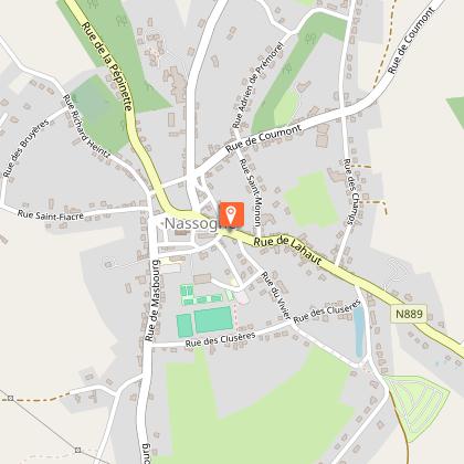
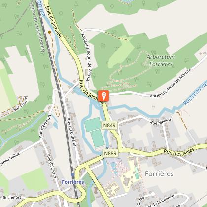
At the threshold of the Ardennes, this trail will take you through verdant hills and picturesque valleys, alongside stunning landscapes and breathtaking viewpoints. Starting from Nassogne and its majestic St Monon collegial church you will roam pretty country paths. Then, you will cross the picturesque villages of Grune and Ambly and their typical built heritage, with traditional half-timbered houses and old farmhouses built from local stone. Make a small detour and visit the Forrières arboretum (free entrance) before taking on the hilly stretches that will lead you back to your departure point. Maison du Tourisme de Famenne-Ardenne Ourthe & Lesse Place de l'Etang, 15 - 6900 Marche-en-Famenne T: +32(0)84/34.53.27 info@famenneardenne.bewww.famenneardenne.bewww.instagram.com/tourismefamenneardenne/www.facebook.com/famenneardenne/
Further information
Signalétique (EN)
No signage
IGN MAP

AERIAL PHOTOS / IGN


SLOPE MAP (IGN PLAN)


MAP 1950 / IGN

MAP OF THE GENERAL STAFF (1820-1866)


OPEN STREET MAP


Starting point
6950 Nassogne
1 Reprise sur une route fort fréquentée: Prudence!
2 Reprise sur une route fort fréquentée. Prudence!
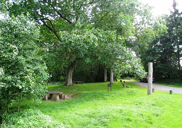
Our top tip: the Ry d'Oeure Nature Reserve
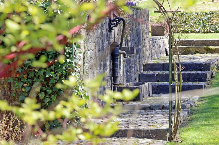
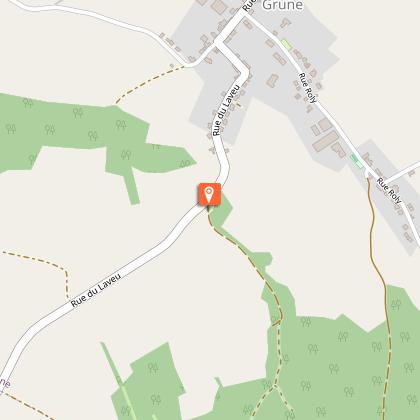
It’s worth stopping for a while at the Ry d’Oeure nature reserve, with its picnic area and educational trail. It’s only about 600m (2000 feet) from where you are now (at the bottom of the hill, village exit). To reach the Ry d’Oeure, instead of continuing straight ahead, take the turn and follow the road towards Nassogne. The neighbourhood that you are now passing through is called Laveu. The name (Walloon for ‘lavoir’ wash-house) is a reminder of the former public wash-house that once sat alongside the Ry d’Oeure, where the rest area is now. The vast stone basins have been moved to the place known as ‘la Pépinette’ in Nassogne.
View of the Wassoie valley
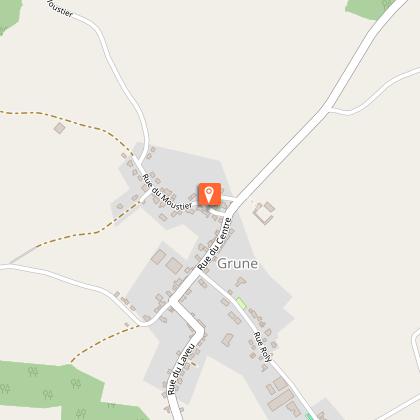
On your left, you can enjoy a wide view of the Wassoie valley. With the Saint-Hubert forest as a backdrop, the village of Grune overlooks the valleys of the Wamme and the Hédrée.