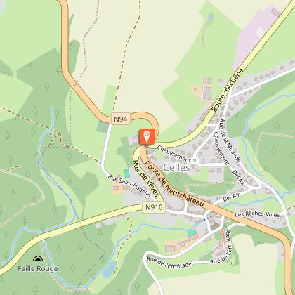
Discovery walk through Celles


Further information
Signalétique (EN)
No signage
IGN MAP

AERIAL PHOTOS / IGN


SLOPE MAP (IGN PLAN)


MAP 1950 / IGN

MAP OF THE GENERAL STAFF (1820-1866)


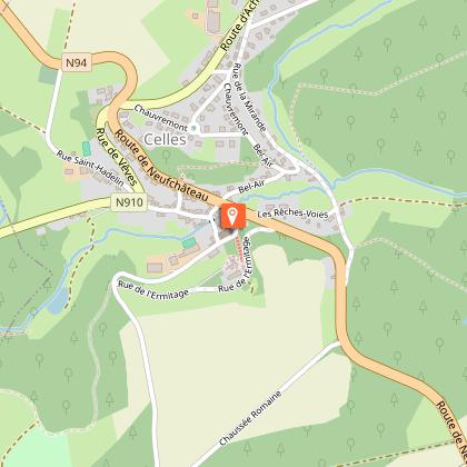
OPEN STREET MAP


Starting point
5561 Celles
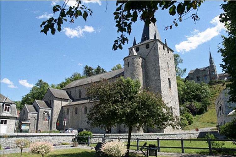
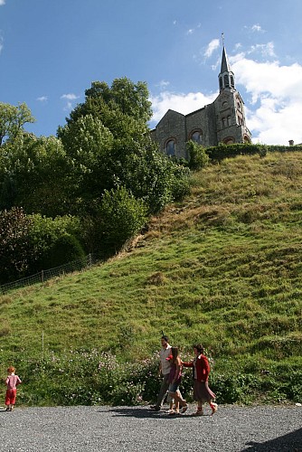
Romanesque church - Celles
The perfectly preserved Romanesque church of Celles is thought to be prior to the 12th century. The crypt, located under the choir, probably dates back to the 9th century. The crypt is built in the shape of a Latin cross with three naves and 2 rows of pillars.In the church tower, you can admire a very ancient roman inscription, which is thought to date from the reign of the emperor Probus (279).This remarkable monument is definitely worth a visit, even if it were just for the sake of admiring the stalls, the font and the holy water font both from the 12th century. It equally boasts rather interesting tombstones, namely one in black marble, which houses the remains of Rasse de Celles and his wife.
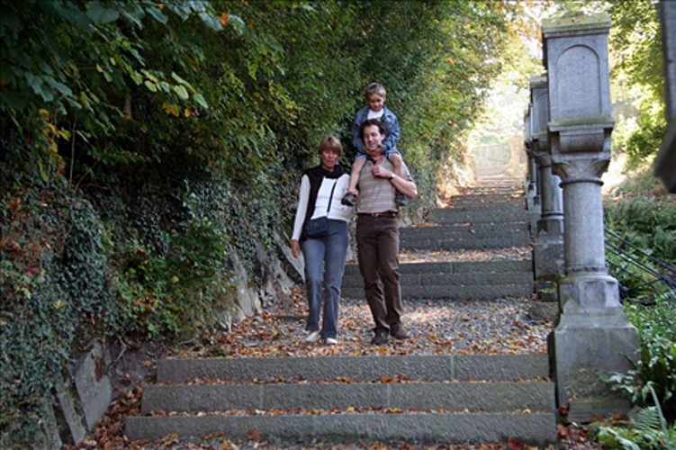
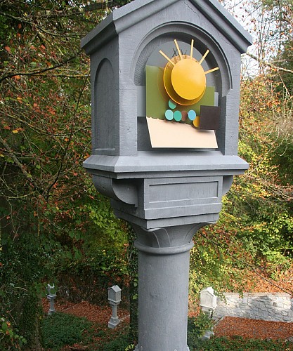
Stations of the Cross
This beautiful stone Stations of the Cross links the village centre to the Hermitage, used to be used by the nuns of Saint-Vincent of Paul. This sisterhood settled in the Hermitage from 1858 onwards and until 1973. The sisters were wont to go to church 2 to 3 times a day for their devotions, and it was their habit to pray while going down the Stations of the Cross.
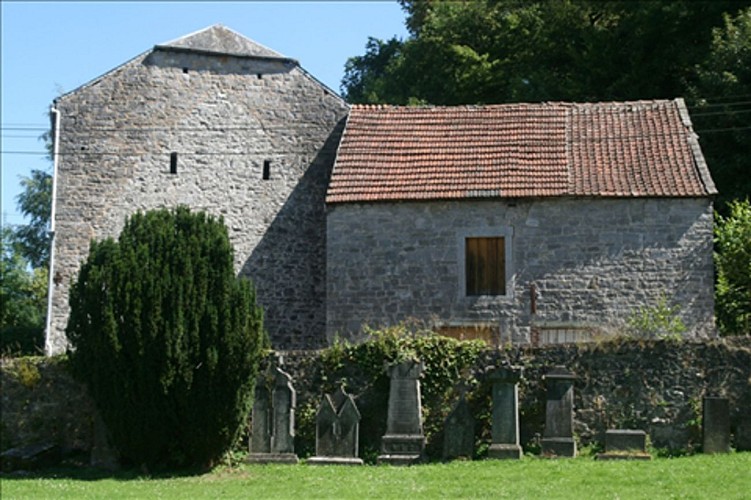
Hermitage Chapel
The chapel, called de l'Ermitage, is constructed on the site of Saint Hadelin's grave and nearby the cave where he retreated. Until 1789, the hermits attached to the church of Celles lived in the Hermitage, whose origins go back to the 14th century. It was restored in 1850 by the Countess Hadelin de Liedekerke, the Baroness Isabelle de Doppf.