

Nature : Hour


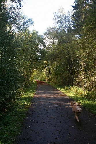


Beautiful bucolic trail through the lovely natural environment surrounding Hour and Wanlin with stunning views of the typical Famenne landscape and a brief journey on the RAVeL foot- and cycle path. If you would rather follow a gps-route with Points of Interest, all you need to do is download the walking trail of the same name.
Further information
Signalétique (EN)
No signage
IGN MAP

AERIAL PHOTOS / IGN


SLOPE MAP (IGN PLAN)


MAP 1950 / IGN

MAP OF THE GENERAL STAFF (1820-1866)


OPEN STREET MAP


Starting point
5563 Hour
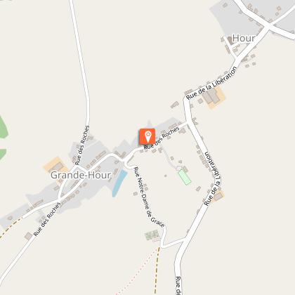
1 Départ de la promenade
Our top tip: the RAVeL foot- and cycle path
Not far from, here you can take the RAVel (also known as the Autonomous Network of Slow Ways or ‘Réseau Autonome de Voies Lentes in French). This foot- and cycle path links Jemelle and Rochefort to Houyet. This former railway line was dismantled after 1978 and rehabilitated as a lovely path for pedestrians, cyclists and other vulnerable road users. Several sections of the RAVeL run alongside the Lesse River, revealing some wonderful spots for an al fresco picnic.The distance between Houyet en Vignée is 6,2 km and Houyet and Rochefort are separated by 18,2 km.
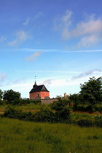
Our top tip: the Chapel Our Lady of Mercy
This lovely little chapel is surrounded by a churchyard and is all that remains of the original church. We know that the church had three naves, but the year of construction of the church remains unknown. The chapel stands on the location of the former church choir. We think that the church was destroyed around 1553 by Henry II’s troops who had formed an alliance with the German protestants against the emperor Charles V.


