

Walking trail Hotton -17- Walk along the stones


A great family walk that will delight nature lovers! Walk this trail located in the heart of the Famenne-Ardenne UNESCO Global Geopark and discover the beauty of the Calestienne area as well as quite a few remarkable geological, archaeological and natural sites among which : the archaeological site of the "Ti-château" Roman camp, the resurgence of the l’Isbelle, the Fre d’Jamé tunnel and the stunning view from the equally stunning Renissart Rocks! #WeLoveFamenneArdenne
Further information
Signalétique (EN)
Pedestrian - Vertical rectangle - Green
IGN MAP

AERIAL PHOTOS / IGN


SLOPE MAP (IGN PLAN)


MAP 1950 / IGN

MAP OF THE GENERAL STAFF (1820-1866)


OPEN STREET MAP


Starting point
6990 Hotton
Riveo
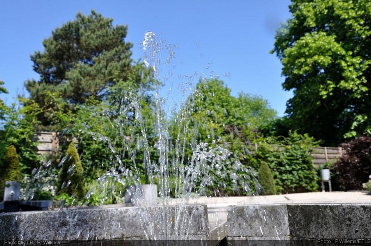
This River Interpretation Centre is the perfect place to discover the secret world of our rivers and their plentiful fauna and flora. Riveo offers educational areas, aquariums, a pond, a reconstruction of an arm of a river, and a thematic exhibition. Riveo also boasts 5 splendid themed gardens and a truly original crazy golf course!www.riveo.be
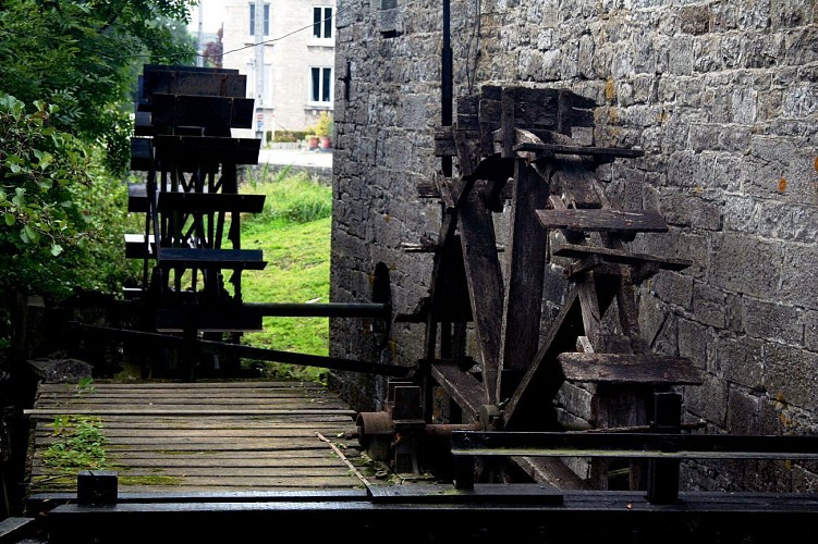
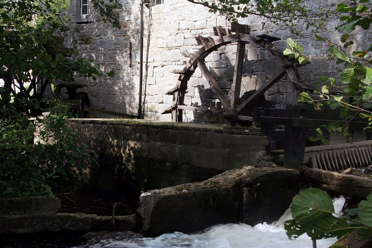
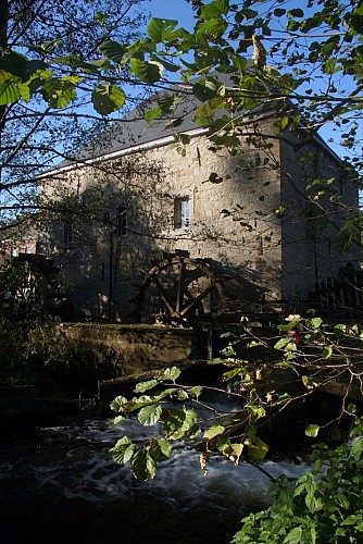
The Faber Mill Museum
This water mill from 1729 really takes you back to times gone by! It was built alongside a watercourse, the second tributary of the Ourthe, that created an island (the island of Oneux) in the heart of the town. It used to be the town mill and all the inhabitants were under the obligation to resort to this mill (that belonged to the lord of the fiefdom) to have their corn ground. With this came a second obligation; that of paying a tax, called “multure” that was proportional to the quantity of grain or corn.The mill functioned up to the 1960’s and bears the name of its last owner, Mister Lucien Faber, who wished to open the mill to the public. In 1989, the mill was acquired by the Hotton council.Inside the mill, spread out over 4 floors, you can admire the ingeniousness displayed by the millers in times gone by : the machinery, the millstones, the bolter, the granary…Outside, you can admire the two wheels that are driven by a tributary of the Ourthe…You can visit the mill upon prior request ; please contact the Hotton Tourist Information Office.More information? Take a quick peek at our website: www.si-hotton.be
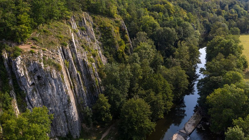
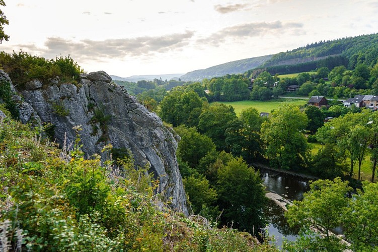
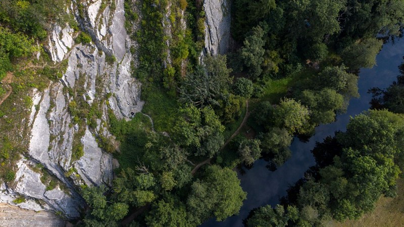
Our fave spot on this walk: the Renissart Rocks
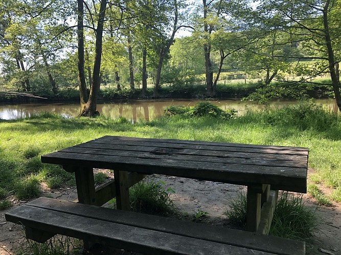
Towering out above the river Ourthe, the majestic Renissart rocks are a firm favourite with rock climbers The small beach at the foot of the rocks, is the perfect place for a relaxing family-day with the children !The rocks are located on the right bank of the Ourthe, stream upwards from the bridge in Hotton.There are 17 climbing routes on the « Fré DJamé » , are managed by the local potholing club and are equipped with bolting anchors.Both the rocks and the beach are listed sites
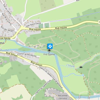
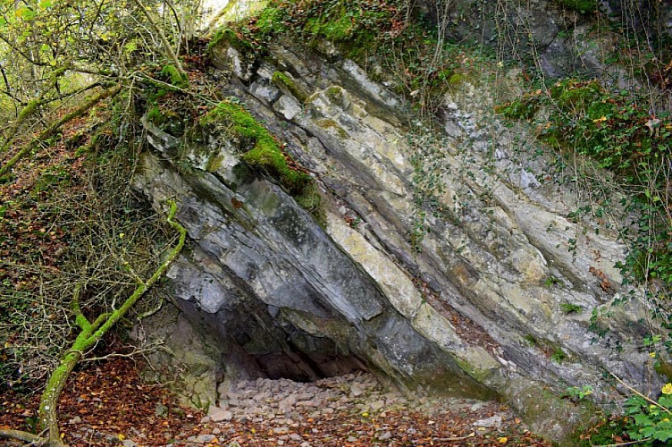
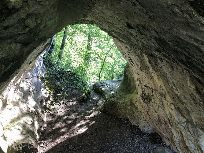
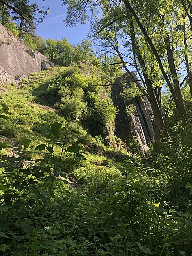
The Fré Djame hole
The Fré Djame hole or the Brother William hole, is named after a monk that is said to have lived there as a hermit in times gone by. It is perched 20 meters above the Ourthe, affording a stunning view of the surrounding landscape. It is the remains of the tunnel that cuts right through the rocks and was formed millions of years ago.


