

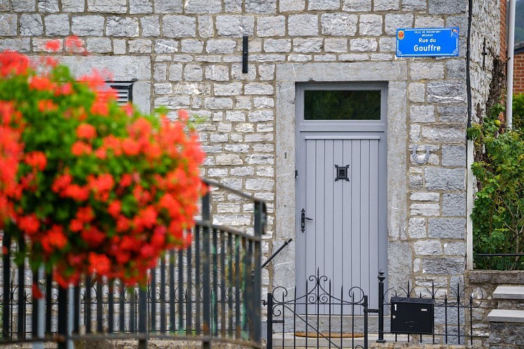
Belvaux


Credit : D.Closon/MTFA
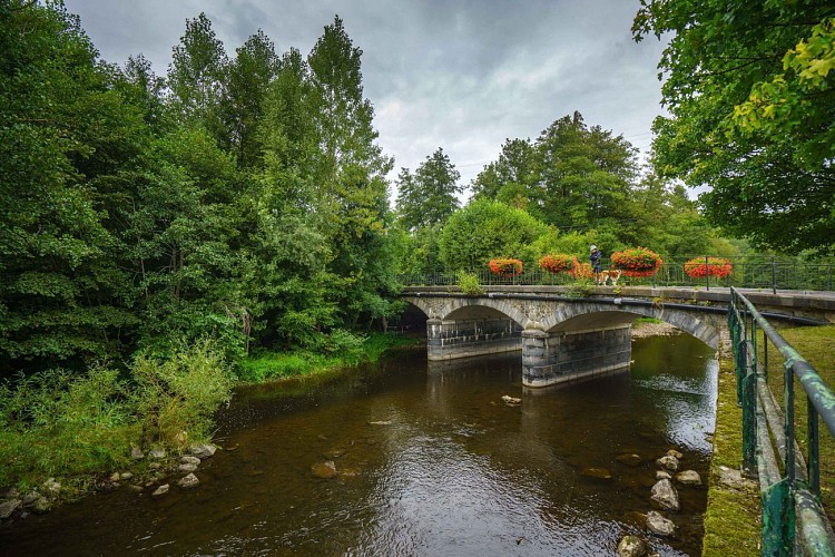
This small corner of the Famenne, is situated in the Lesse and Lomme Natural Park which was created in 1954 to protect the area’s natural and built heritage as well as its specific fauna and flora. Belvaux is also known for the Chasm of Belvaux (only accessible during the visit to the Wildlife Reserve) : this is where the Lesse River enters the limestone soil of the Boine massif by a staggering siphon some 50 meters deep. The river chose this subterranean route more than 100.000 years ago.
31 Rue des Pairées
5580
Rochefort
Lat : 50.10574Lng : 5.19272
179 m
Select background map
IGN MAP

AERIAL PHOTOS / IGN


SLOPE MAP (IGN PLAN)


MAP 1950 / IGN

MAP OF THE GENERAL STAFF (1820-1866)


OPEN STREET MAP


Nearby tours
Author Information

MTFA
Author


