

Houyet walking map
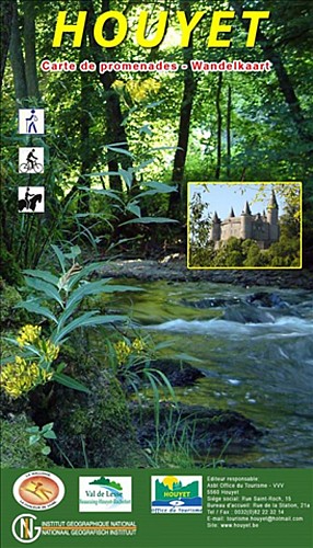

We hope you enjoyed this walk. It is part of the Houyet walking map which contains around 400km of signposted paths and more than 60 trails for hikers, cyclists, mountain bikers and horse riders. You can buy this map for the modest sum of 7,50€. www.tourismehouyet.be +32(0)82 22 32 14
26 Rue Saint-Hadelin
5561
Celles
Lat : 50.22966Lng : 5.00512
201 m
Select background map
IGN MAP

AERIAL PHOTOS / IGN


SLOPE MAP (IGN PLAN)


MAP 1950 / IGN

MAP OF THE GENERAL STAFF (1820-1866)


OPEN STREET MAP


Nearby tours
Author Information

MTFA
Author


