

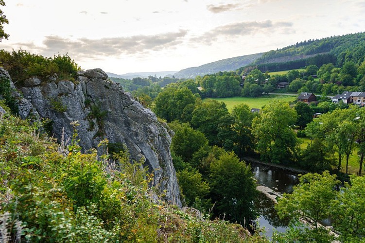
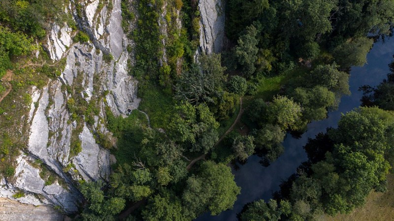
Our fave spot on this walk: the Renissart Rocks


Credit : Denis Closon Photography/Maison du Tourisme Famenne-Ardenne Ourthe & Lesse
Towering out above the river Ourthe, the majestic Renissart rocks are a firm favourite with rock climbers The small beach at the foot of the rocks, is the perfect place for a relaxing family-day with the children ! The rocks are located on the right bank of the Ourthe, stream upwards from the bridge in Hotton. There are 17 climbing routes on the « Fré DJamé » , are managed by the local potholing club and are equipped with bolting anchors. Both the rocks and the beach are listed sites
80 Rue Grand-Mont
6990
Hotton
Lat : 50.26691Lng : 5.45857
232 m
Select background map
IGN MAP

AERIAL PHOTOS / IGN


SLOPE MAP (IGN PLAN)


MAP 1950 / IGN

MAP OF THE GENERAL STAFF (1820-1866)


OPEN STREET MAP


Nearby tours
Author Information

MTFA
Author


