

Our top tip: the Ry d'Oeure Nature Reserve
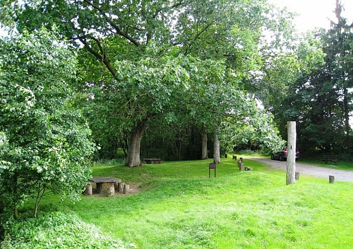

It’s worth stopping for a while at the Ry d’Oeure nature reserve, with its picnic area and educational trail. It’s only about 600m (2000 feet) from where you are now (at the bottom of the hill, village exit). To reach the Ry d’Oeure, instead of continuing straight ahead, take the turn and follow the road towards Nassogne. The neighbourhood that you are now passing through is called Laveu. The name (Walloon for ‘lavoir’ wash-house) is a reminder of the former public wash-house that once sat alongside the Ry d’Oeure, where the rest area is now. The vast stone basins have been moved to the place known as ‘la Pépinette’ in Nassogne.
IGN MAP

AERIAL PHOTOS / IGN


SLOPE MAP (IGN PLAN)


MAP 1950 / IGN

MAP OF THE GENERAL STAFF (1820-1866)


OPEN STREET MAP


Author Information


