

Ruins of the Beauraing Castle
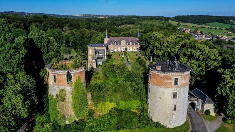

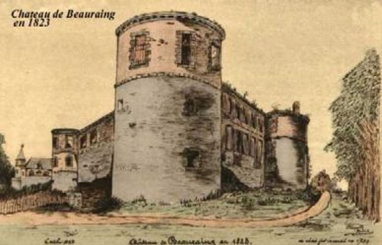

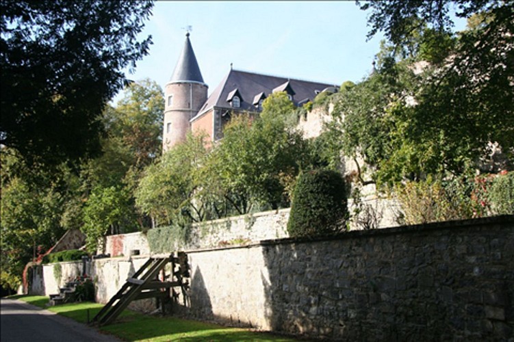

The ruins of the once formidable castle of Beauraing loom out above the Park Castel Sainte-Marie. The castle dates from the 13th century and suffered heavy damages during successive battles and fires. It was nearly burnt to the ground in 1889 by a heavy fire. Since then, the castle has changed hands quite a few times, the former horse stables were recently converted into guestrooms and a restaurant, and one of the towers (Charles Quint or Kaiser Charles) is now a holiday cottage.
57 Rue des Ardennes
5570
Beauraing
Lat : 50.10636Lng : 4.95904
219 m
Select background map
IGN MAP

AERIAL PHOTOS / IGN


SLOPE MAP (IGN PLAN)


MAP 1950 / IGN

MAP OF THE GENERAL STAFF (1820-1866)


OPEN STREET MAP


Nearby tours
Author Information

MTFA
Author


