

The megalithic site in Wéris
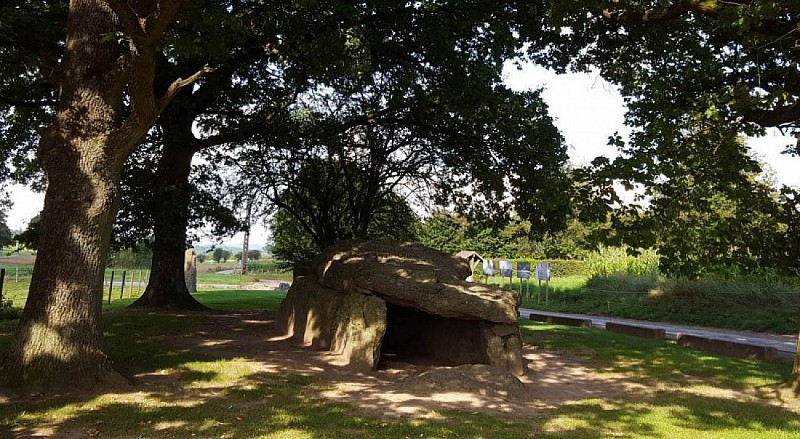

The megalithic site in Wéris stretches out over 8km and is 300m wide. As far as we know, it consists out of two dolmens (= burial chambers), with two menhirs standing in front and several blocks of stone scattered around, as well as 6 locations where you can admire menhirs (standing stones).
30 Rue des Dolmens
6940
Durbuy
Lat : 50.33341Lng : 5.52175
246 m
Select background map
IGN MAP

AERIAL PHOTOS / IGN


SLOPE MAP (IGN PLAN)


MAP 1950 / IGN

MAP OF THE GENERAL STAFF (1820-1866)


OPEN STREET MAP


Nearby tours
Author Information

MTFA
Author


