

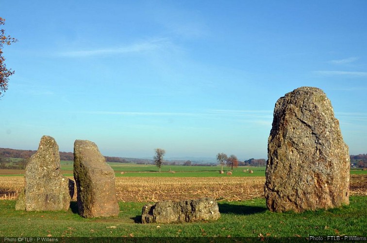
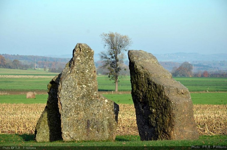
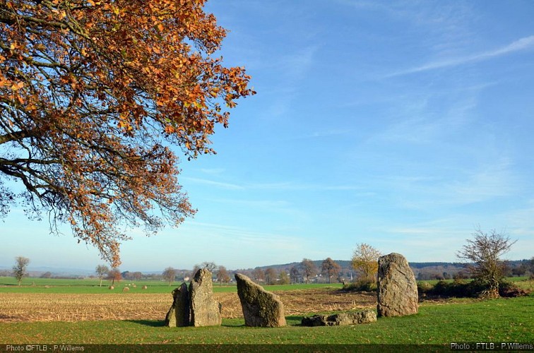
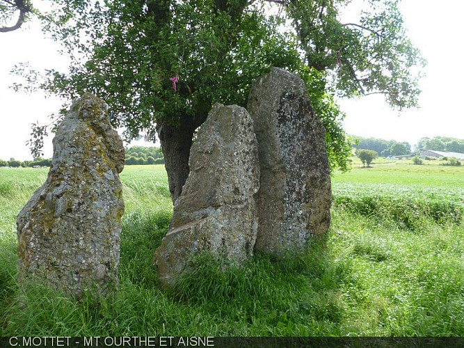
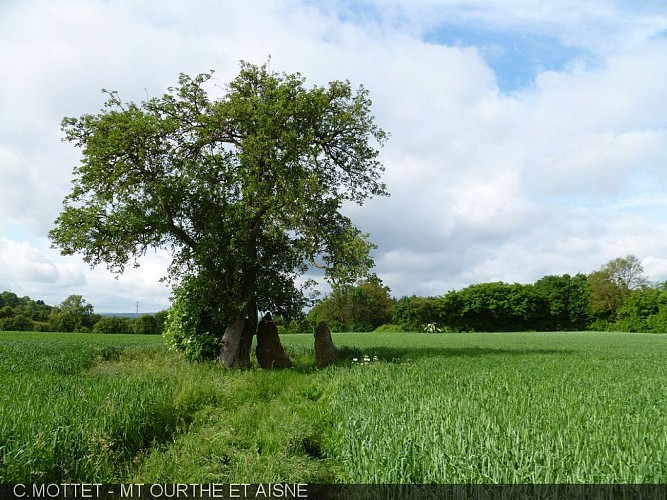
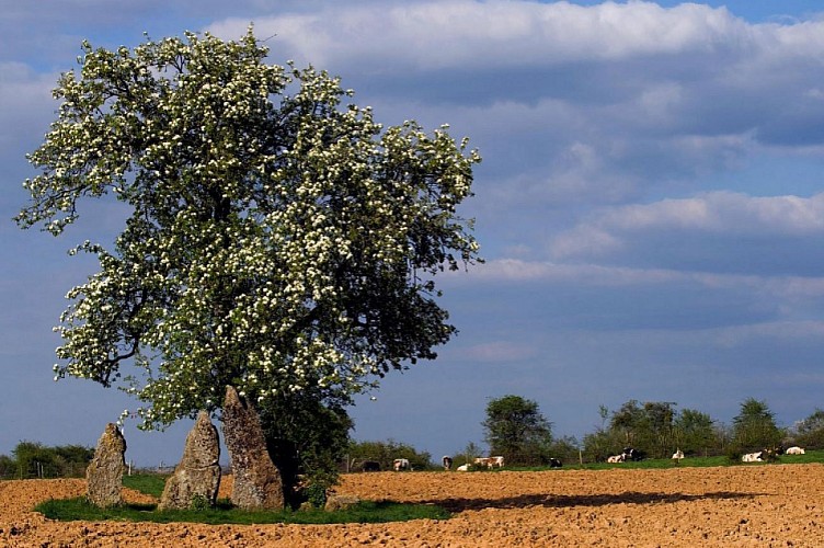
The three dolmens of Oppagne


Credit : FTLB - P.Willems
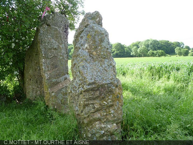
The three menhirs in Oppagne are part of the exceptional ensemble of megalithic monuments that are dotted across the council of Durbuy, covering an area that is over 8km long and 300 m wide. They date back to 5,000 years ago, the era of the first Neolithic famers. The word ‘menhir’ comes from the Breton word ‘men’ meaning stone, and ‘hir’ meaning long. The menhirs in Oppagne are 2 to 2,7 m high. They are in puddingstone – a naturally occurring rock akin to cement – a rock that was quarried and put to use locally until the First World War.
Route d'Erezée
6940
Durbuy
Lat : 50.31794Lng : 5.52525
Select background map
IGN MAP

AERIAL PHOTOS / IGN


SLOPE MAP (IGN PLAN)


MAP 1950 / IGN

MAP OF THE GENERAL STAFF (1820-1866)


OPEN STREET MAP


Nearby tours
Author Information

MTFA
Author


