

Circuit vélo autour de Marche-en-Famenne


Further information
Signalétique (EN)
No signage
IGN MAP

AERIAL PHOTOS / IGN


SLOPE MAP (IGN PLAN)


MAP 1950 / IGN

MAP OF THE GENERAL STAFF (1820-1866)


OPEN STREET MAP


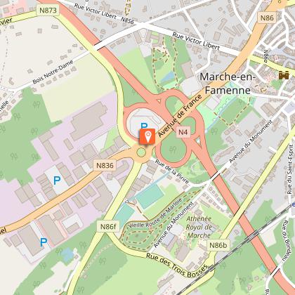
Starting point
6900 Marche-en-Famenne
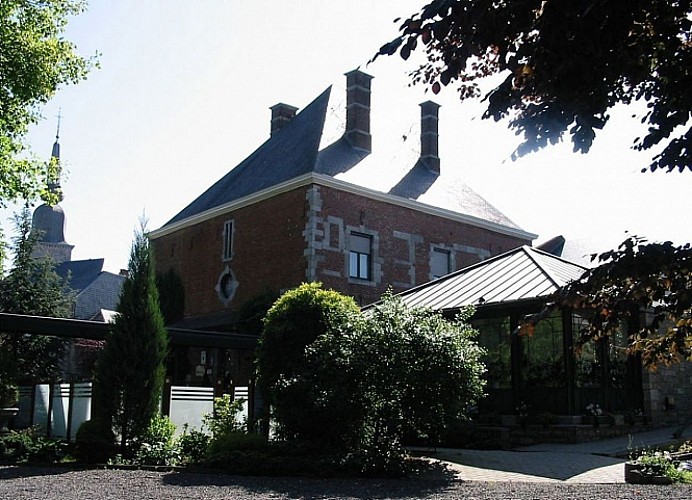
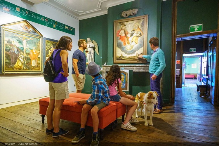
The Dochain House/The Manoir
Upon arrival on the Place Toucrée, you will see an impressive building, surrounded by railings, towering on your right. This is the Dochain House, also known as the Manoir (currently a restaurant). The edifice owes its name to the influential d’Ochain family, to whom it used to belong in the 17th century. The family held several important political offices in Marche (alderman, provost-master, burgomaster) and possessed quite a few illustrious properties among which was the Aye castle-farm. This remarkable house was damaged during the great 1615 town fire and restored in 1616 (see the date anchors) with brick and blue stone, noble materials which were often employed to build the homes of notables. Furthermore, the building underwent a number of conversions in the course of the second half of the 19th century,
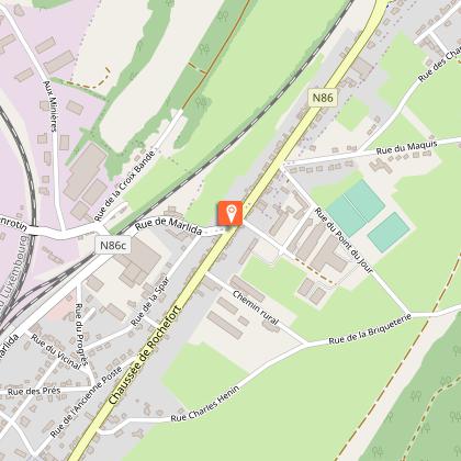
1 Roind point du centre-ville et forte côte sur une portion de route fort fréquentée: Prudence!!
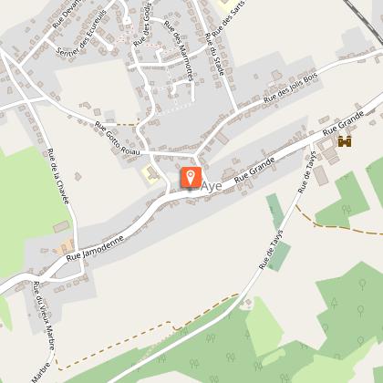
2 Traversée dangereuse, route très fréquentée: soyez prudents!
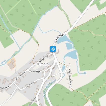
3 Route très fréquentée: soyez prudents!
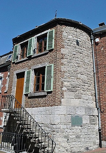
The Juniesse Tower
Opposite you rises the Juniesse tower that quite miraculously escaped the dismantling of the town’s fortifications by the French under Louis XIV, probably due to the fact that the tower stood inside the Jesuit convent. Interestingly, from 1675 onwards the town was occupied by the French troops. Then, in 1678, by order of the governor of the Netherlands, and in compliance with the treaty of Nijmegen, the moats were filled up and the slow but sure dismantling of the town’s fortifications began… At the end of the 18th century, the two ‘turrets’ that still stood in the upper pond were destroyed. The only vestiges of the town’s fortifications were the remains of the high and low gate that were eventually torn down in 1799, following a council decision that deemed they were a danger to the public on the grounds of their state of disrepair.


